The San Potito Seismic Monitoring Network consists of fifteen seismometric stations (Fig. 1) and a permanent GNSS geodetic station. The stations are indicated with the acronym SP. Each station of the RMSP consists of a data acquisition system, a power supply system, and two sensors: a velocimeter and an accelerometer.
Stations SP02, SP03, SP04, SP05, SP11, SP13, and SP14 are equipped with borehole velocimeters, while stations SP06, SP07, SP08, SP09, SP10, SP12, and SP15 are equipped with surface velocimeters. Station SP01, on the other hand, features an array of borehole seismometers (6 short-period seismometers installed between -35 and -285 m) and a broadband seismometer. All acquisition channels have a sampling frequency of 200 Hz.
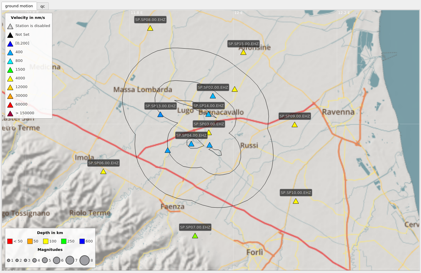
Figure 1 shows the map with the location of the stations and the surface contours of the areas corresponding to the Detection Domains. Full network operability was achieved in December 2018.
All stations are equipped with data tele-transmission devices and GPS antennas for precise time synchronization. The data recorded by the stations are transmitted directly to the acquisition center at the OGS headquarters in Trieste. The acquired data is archived in real-time in mseed format on redundant network storage systems.
It should be noted that the local S. Potito network serves the purpose of seismic detection on a local scale and not for Civil Protection purposes. Such surveillance functions for the Civil Protection Department are carried out through the national seismic monitoring system managed by INGV.
| Station | Main Sensor | Installation | Acquisition Frequency |
|---|---|---|---|
| SP01 | Array (6 short-period seism.) + Broadband | Borehole (-35m / -285m) | 200 Hz |
| SP02, SP03, SP04, SP05 | Velocimeter + Accelerometer | Borehole | 200 Hz |
| SP11, SP13, SP14 | Velocimeter + Accelerometer | Borehole | 200 Hz |
| SP06, SP07, SP08, SP09 | Velocimeter + Accelerometer | Surface | 200 Hz |
| SP10, SP12, SP15 | Velocimeter + Accelerometer | Surface | 200 Hz |